
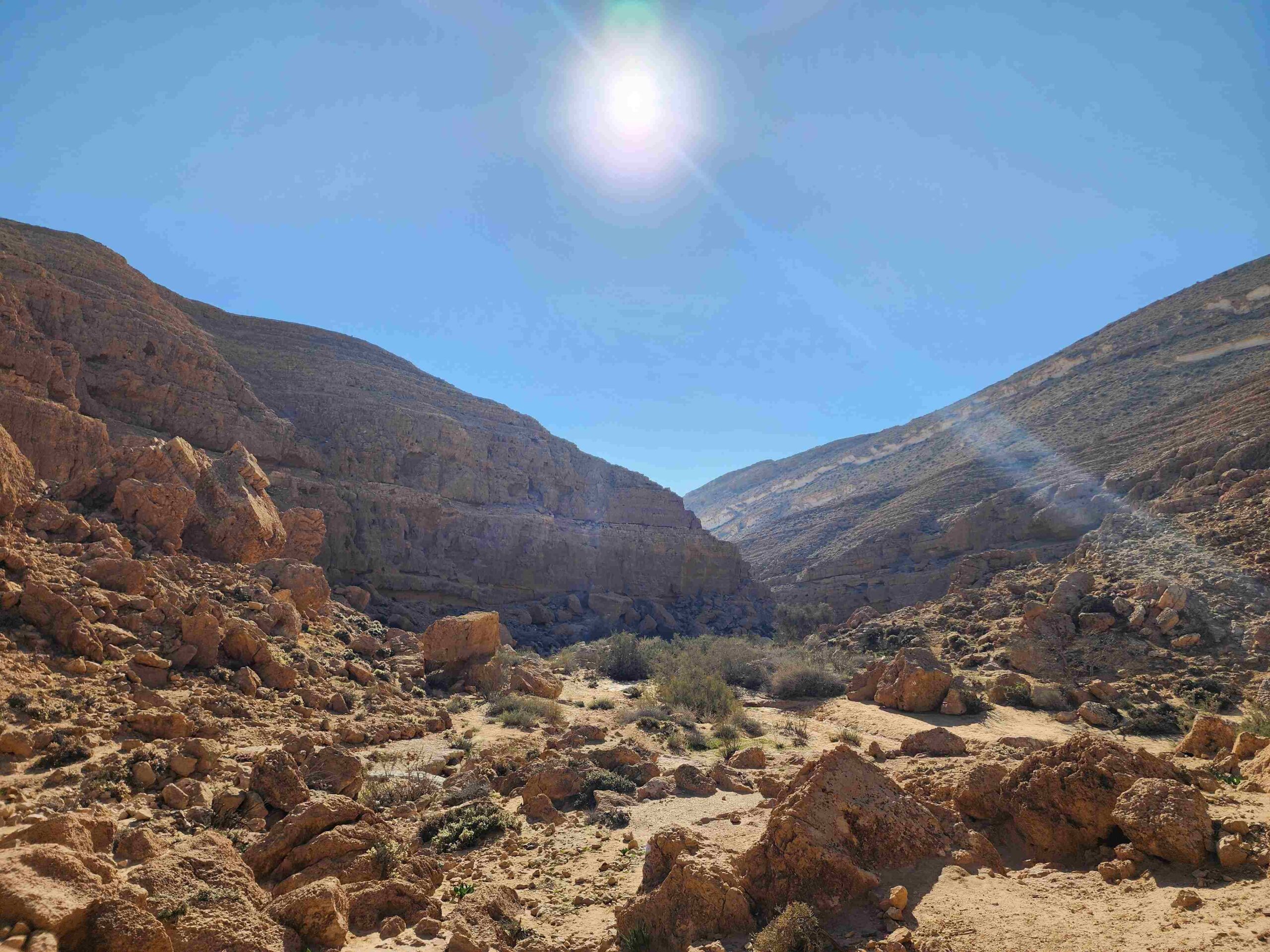
Why Winter is the Perfect Season for Hiking the Negev
There is truly nothing quite like the Negev Desert during the winter months. While much of the Northern Hemisphere bundles up against freezing snow, Israel’s southern desert transforms into an outdoor paradise.
From November through March, daytime temperatures in the Negev are pleasantly mild-warm enough for light outerwear, yet cool enough to hike comfortable miles under direct sunlight without the oppressive heat of summer. Winter rains also breathe brief, stunning moments of life into the arid landscape: dry riverbeds (wadis) temporarily fill with water, flash-flood pools glisten in stone basins, and seasonal desert flowers burst into unexpected bloom across barren hillsides.
If you are planning an outdoor adventure in Israel, winter is undeniably the golden window to explore the majestic, windswept wilderness of the Negev.
Understanding the Negev: Geography, Boundaries, and Safety
Spanning over 4,700 square miles, the Negev region accounts for approximately 60% of Israel’s total land area. However, despite its vast footprint, it remains one of the country’s most serene and sparsely populated landscapes.
Triangular Geography & Boundaries
Geographically, the Negev is shaped like a vast, apex-down triangle:
Northern Boundary (The Base): Stretches across the southern Judean foothills, running roughly from Nahal Peres in the east over to Nahal Shikma or Nahal Gerar in the west.
Southern Apex: Points directly at the coastal resort city of Eilat on the Red Sea.
Western Boundary: Defined by the international border with Egypt along the Sinai Peninsula.
Eastern Boundary: Borders the nation of Jordan along the Great Rift Valley / Arava.
How the Negev Differs from the Judean Desert
It is worth noting that the Negev is geographically and geologically distinct from the neighboring Judean Desert. While the Judean Desert is a classic rain-shadow desert created by the central Judean Mountains, the Negev is part of the global desert belt with distinct geological crater formations (makhteshim), broad wadis, and ancient trade corridors.
Important Military Coordination (IDF Firing Zones)
About 80% of the Negev territory serves as active training grounds (firing zones) for the Israel Defense Forces (IDF).
Guide Tip: Many popular trails inside military zones are strictly closed during mid-week live-fire exercises, but open safely to hikers on weekends (Friday–Saturday) and official Israeli holidays. Always double-check whether military coordination with Southern Command is required before embarking on hikes in remote sections of the Negev.
Family-Friendly Winter Trails in the Negev
The following hand-picked trails offer accessible routes, scenic viewpoints, and fascinating geological features suitable for families, casual walkers, and mixed-ability groups.
Nahal Karkash
Distance: ~2 km (1.2 miles) downhill one-way (or optional steep circular loop)
Trailhead: Midreshet Ben-Gurion junction / Zin Cliffs reserve gate
Ending Point: Serpentines Parking Lot (Hanyon HaSerpentinot)
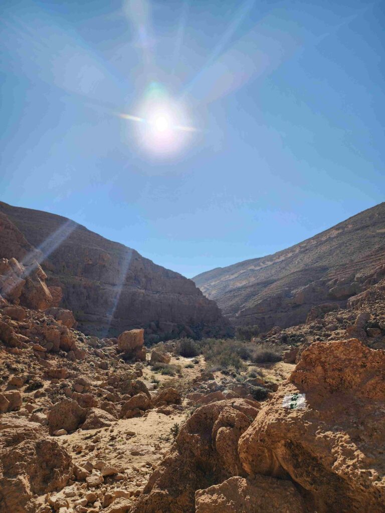
Nahal Karkash is a short, dramatic gorge descent cut into the limestone of the Zin Cliffs. The trail features fun, mildly technical rock steps that kids love navigating.
How to hike it: You can park one car near the entrance gate of Midreshet Ben-Gurion (near the overlook park) and descend along the green-marked trail. Near the bottom, merge with the blue-marked trail of Nahal Havarim ending at the Serpentines Parking Lot. If you prefer a circular route without two vehicles, take the red-marked trail back up from the bottom of the gorge toward David Ben-Gurion’s gravesite.
Nahal Havarim
Distance: ~4 km (2.5 miles) downhill
Trailhead: Bor Havarim off Highway 40
Ending Point: Serpentines Parking Lot (Hanyon HaSerpentinot)
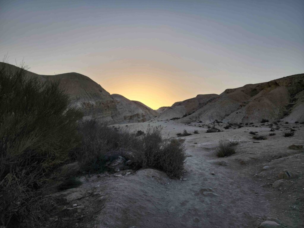
Famous among locals for full-moon night hikes due to its glowing soft yellow-white marlstone (havar) canyon walls, Nahal Havarim is equally rewarding under the daytime winter sun.
Guide Tip & Safety Note: Near the starting point off Highway 40 south, look for a large tamarisk tree. Tucked beneath it lies Bor Havarim, an extraordinarily preserved ancient subterranean water cistern carved by the Nabataeans over 2,000 years ago. Please note: Entering the underground cistern itself may pose structural collapse hazards—always observe and strictly adhere to warning signs posted at the site.
Ein Avdat National Park
Distance Options: 1 to 2.5 hours depending on selected route
Entry: Israel Nature and Parks Authority (INPA) fee applies
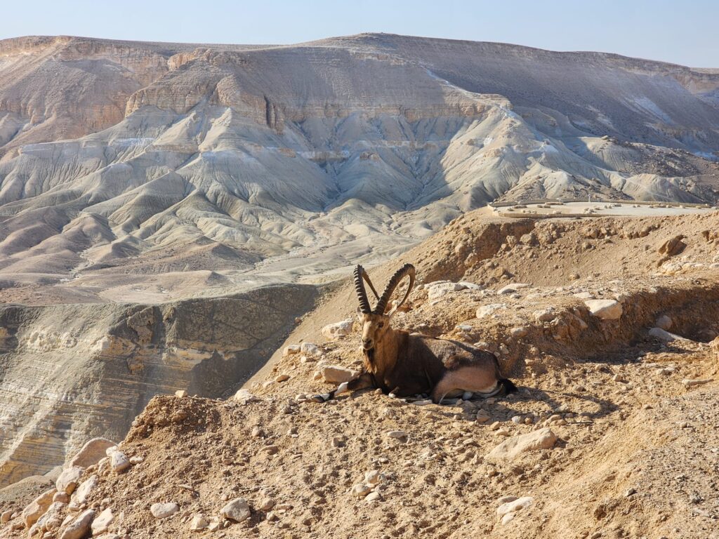
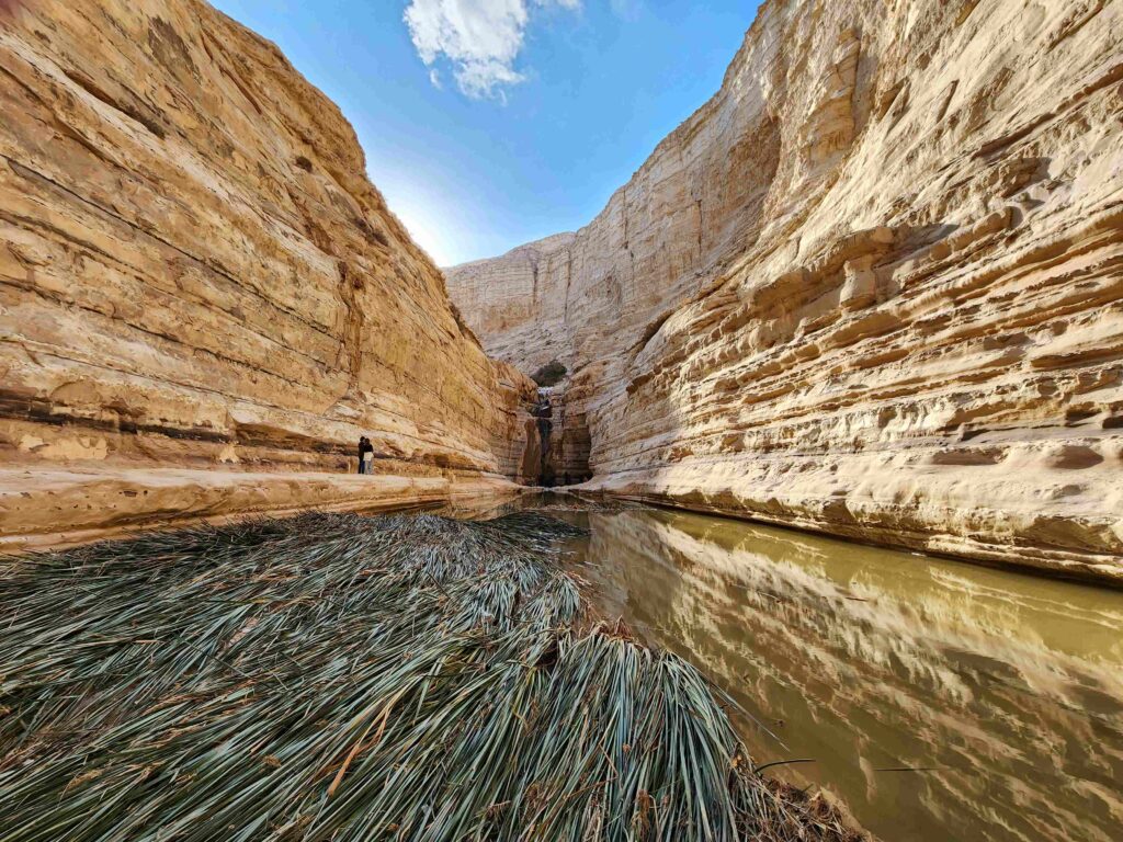
Located within the spectacular Zin Valley canyon, Ein Avdat is a lush, spring-fed oasis surrounded by soaring cliffs where real-life wild ibex and raptors nest.
Short Route (1 hour): Out-and-back walk along the canyon floor to the main spring pool and waterfall.
Medium Route (2 hours): Continues past the waterfall to the subterranean Euphrates Poplar grove.
Long Route (2.5 hours): Requires climbing vertical rock-carved ladders to Upper Ein Avdat (requires vehicle shuttle at the top exit).
The Small Fin (HaSnapir HaKatan) – Yeruham Crater
Distance: ~3.5 km (2.2 miles) circular
Trailhead: Colored Sands Parking Lot (Hanyon HaHolot HaTzivoni’im)
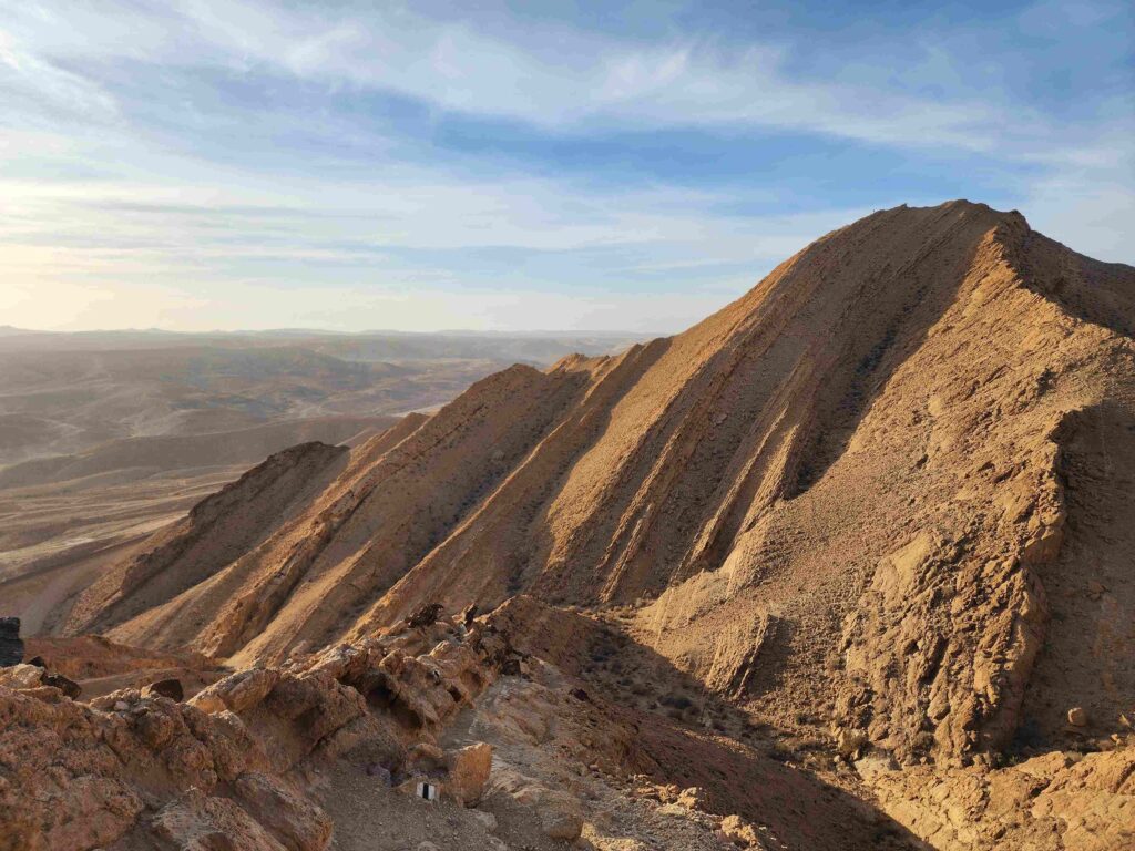
Located in the Yeruham Crater (Makhtesh Yeruham / HaMakhtesh HaGadol), this trail ascends along a razor-back sandstone ridge resembling a fish’s fin. From the ridge, you get panoramic views across the colorful layers of the erosion crater before descending back through a narrow wadi with steel rungs installed in the rock.
Ein Yorkeam
Distance: ~1.5 km each way (3 km / 1.8 miles total) out-and-back
Trailhead: Ein Yorkeam parking area (off Route 225)
Situated in the dry canyon of Nahal Hatira just outside the rim of the Yeruham Crater, Ein Yorkeam features deep, natural limestone basins that fill with water after winter floods. It is an easy walk along stone-carved Nabataean steps down into the canyon bedrock.
Nahal Dimona
Distance: ~3.5 km (2.2 miles)
Highlight: Seasonal Narcissus flowers (December–January)
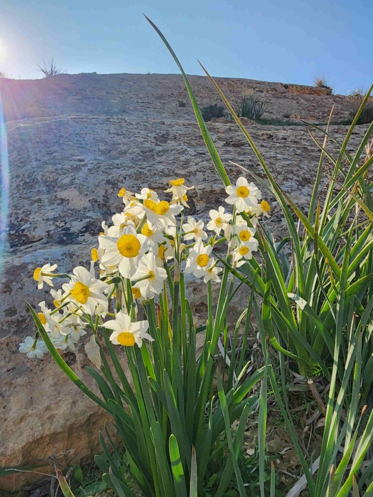
While desert scenery is beautiful year-round, Nahal Dimona offers a rare ecological treat: dozens of wild winter daffodils (Narcissus tazetta) blooming directly out of the dry, rocky riverbed between late December and mid-January. Toward the end of the trail, hikers enjoy a brief, energetic uphill climb.
Nahal Mamshit
Distance: ~3.5 km (2.2 miles) circular loop
Trailhead: Adjacent to Mamshit National Park
This pleasant loop trail winds around ancient dams constructed by the Nabataeans to catch flash floods and preserve water for their desert trade caravans. In winter, hardy tamarisk trees bloom along the dry wash against a backdrop of historic stonework. Combine this hike with a visit to the neighboring archaeological park.
Nahal Ardon & Givat Harut – Makhtesh Ramon
Distance: ~3.5 km (2.2 miles) circular loop
Trailhead: Ramat Saharonim Day Parking Lot (Hanyon Yom Ramat Saharonim) inside Ramon Crater
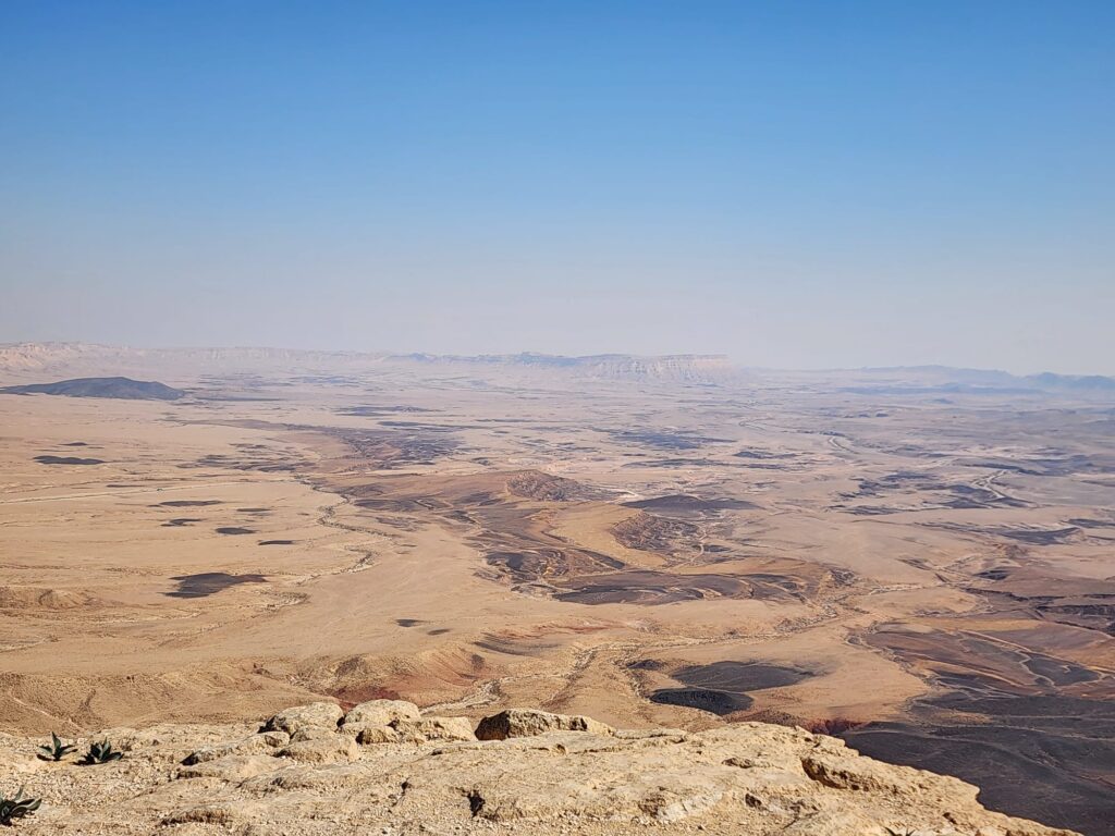
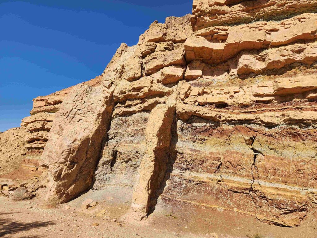
Located inside the famous Makhtesh Ramon—the largest erosion crater on Earth—this trail starts with a black-marked path leading past ancient volcanic dike formations toward Givat Harut (Cone Hill). A steep, short zigzag trail leads to the summit, offering 360-degree views of reddish sandstone formations, acacia trees, and vast desert plains. Descend the same way to join the red-marked trail encircling the hill, then loop back via the black trail to your vehicle.
Challenging Routes for Experienced Hikers
For fit travelers looking for greater elevation gain, technical footwork, and rugged desert solitude, these advanced trails deliver unforgettable adventure.
The Big Fin (HaSnapir HaGadol) – Yeruham Crater
Distance: ~4.5 km (2.8 miles)
Trailhead: Ein Yorkeam Parking Lot across Route 225
Ending Point: Colored Sands Parking Lot
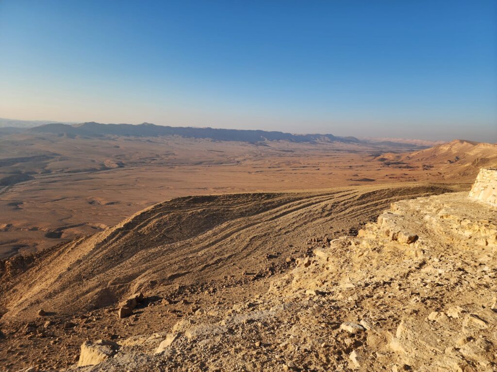
Unlike its “smaller” sibling, the Big Fin cuts straight up and over the steep tilted strata walls of the Yeruham Crater rim along a black-marked trail. The steep climb and descent over exposed sandstone slabs require surefootedness and a good head for heights, but the sweeping aerial views of the entire crater basin are unparalleled.
Mt. Gamal to HaMinsara (The Carpentry Shop) – Makhtesh Ramon
Distance: ~7 km (4.3 miles) one-way
Trailhead: Mount Gamal lookout, Mitzpe Ramon
Ending Point: HaMinsara parking lot inside Ramon Crater
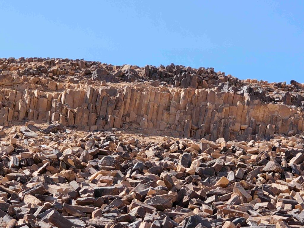
Starting on the cliff edge of Mitzpe Ramon at Mt. Gamal (named for its camel-like profile), this steep descent follows ancient trade paths directly into the belly of Ramon Crater. You will pass extinct volcanic features, fossilized reefs, and ancient geological dikes before finishing at HaMinsara—a hill covered in naturally formed hexagonal prism quartz rods resembling wooden planks.
Must-Visit Historic and Archaeological Sites
Complement your outdoor hikes with a visit to the Negev’s world-class UNESCO Heritage sites and historic landmarks, where ancient civilizations conquered the desert environment.
Tel Be’er Sheva National Park (UNESCO World Heritage Site)
Located near modern Beer Sheba, this ancient biblical mound represents one of the best-planned Iron Age cities in the Levant. Visitors can walk through ancient city gates, explore excavated homes, and descend deep underground into an impressive biblical water reservoir engineered to harvest seasonal floodwaters.
Mamshit National Park (UNESCO Incense Route Site)
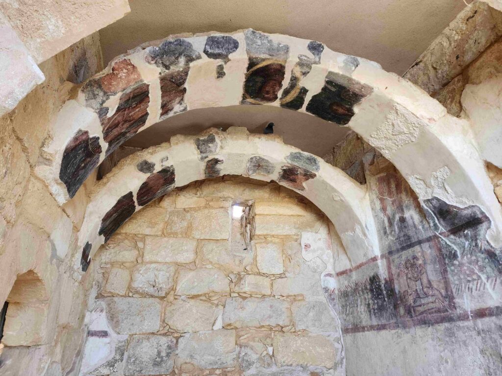
Mamshit is an ancient Nabataean city famous for its unique stone architecture, elaborate archways, and preserved fresco paintings. Built as a vital stop along the ancient Incense Route—which carried frankincense and myrrh from Saudi Arabia to Gaza—Mamshit reflects the genius of Nabataean water collection and horse breeding.
Avdat National Park (UNESCO Incense Route Site)
Perched high on a plateau overlooking the Zin Valley, Avdat was the premier Nabataean citadel along the trade route. Visitors can explore ancient winepresses, Roman bathhouses, Nabataean temples, and grand Byzantine churches featuring Greek inscriptions carved directly into stone columns.
Shivta National Park (UNESCO Incense Route Site)
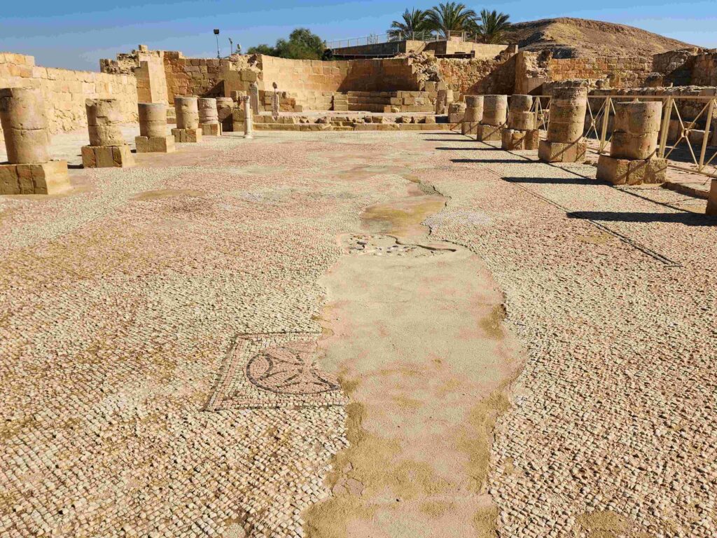
Tucked deep in the Western Negev, Shivta is a remarkably intact Byzantine desert city constructed without city walls. Because it relied entirely on rainwater harvesting, its sophisticated gutters, cisterns, and stone streets remain intact. Fascinatingly, Shivta features an early Islamic mosque built right next to a major Christian church—a rare archaeological testament to centuries of peaceful religious coexistence.
Mitzpe Revivim (National Heritage Site)
Established in 1943 as one of three experimental agricultural outposts (Mitzpim) in the desert, Revivim played a decisive role in modern Israeli history. The pioneering research conducted here proved to the 1947 UN Special Committee on Palestine that the Negev could sustain agriculture and human life—directly leading to the Negev’s inclusion within the proposed Jewish State under UN Resolution 181.
Ben-Gurion’s Desert Home at Kibbutz Sde Boker
Step inside the modest wooden house of Israel’s founding Prime Minister, David Ben-Gurion, preserved exactly as it was on the day he passed away in 1973. Ben-Gurion famously retired to Kibbutz Sde Boker in the heart of the desert, believing that the future, spirit, and scientific potential of Israel lay in making the Negev bloom.
Essential Guide Tips for Winter Hiking in the Negev
Check Flash Flood Forecasts: Winter rains in the central highlands can trigger sudden, powerful flash floods in dry desert canyons miles away. Always check weather forecasts from the Israel Meteorological Service before entering deep narrow gorges like Ein Avdat or Nahal Karkash.
Dress in Layers: Desert temperatures drop rapidly once the sun sets. While midday hiking may require only a T-shirt, mornings and evenings require warm fleece jackets or windbreakers.
Carry Adequate Water: Even in winter, the dry desert air causes rapid dehydration. Carry a minimum of 3 liters (1 gallon) of water per person for half-day hikes.
Mind Sunset Times: Winter days are short in Israel; night falls quickly around 5:00 PM. Always start hikes early in the morning so you complete your route well before dark.
Respect IDF Firing Zones & Safety Signage: Do not hike on unmarked trails, enter restricted military areas, or go past safety barriers at sites like Bor Havarim without observing local notices.